

AT Hiking Tips, the Great Dismal Swamp, and the Channels Natural Area
Plus, making chicken-and-dumplings and a Fauquier County landscape

We’re heading to Virginia this week, starting with the final installment of our Appalachian Trail hiking story, then making our way to the Great Dismal Swamp on the Virginia-North Carolina border. We’ll stop by the Channels Natural Area Preserve in Saltville, then visit Galax for a chicken-and-dumplings cooking workshop. Join us on the backroads!
Committing to the Climb, Part 3
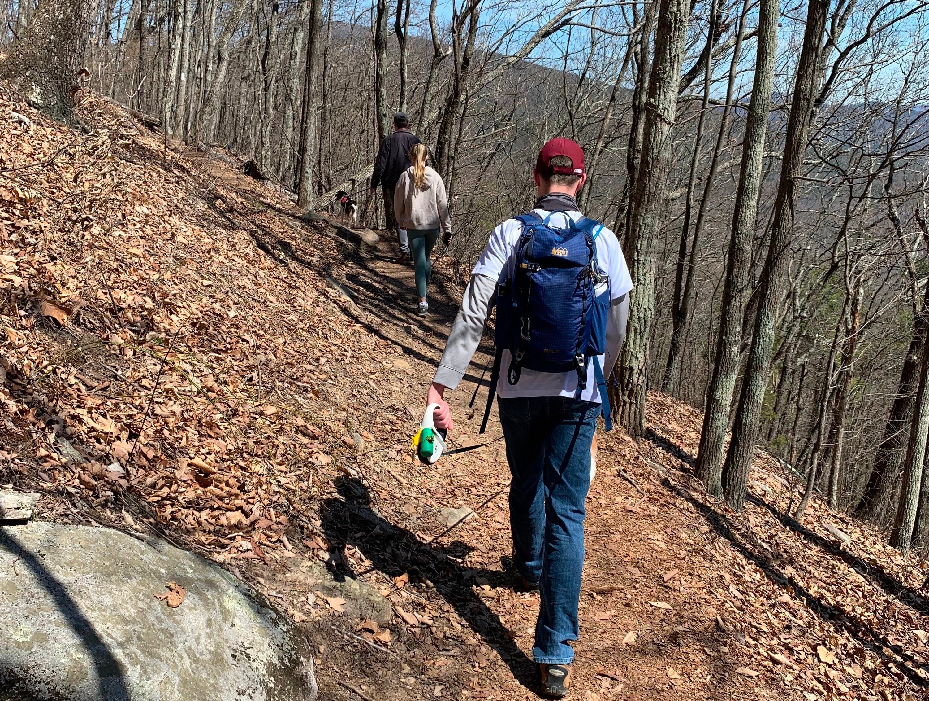
We’re starting off this week’s email with our final installment of Ron and Kelly Gaulden’s Appalachian Trail thru-hiking story. The series concludes with their lessons learned, gear recommendations, and trail tips.
Free subscribers can preview this email. Upgrade your subscription for full access.


Swamp Settlements
Virginia and North Carolina
The Great Dismal Swamp hides remnants of maroon communities—self-governing settlements formed by escaped enslaved people during the 1700s and 1800s who took refuge in the dense, mosquito-infested wilderness. Archaeologists have discovered cabin footprints, white clay tobacco pipe fragments, lead shot, gunflints, pottery shards, reworked Native American arrowheads repurposed as tools, and more. Largely unexplored, the swamp that once covered more than a million acres is now a 113,000-acre National Wildlife Refuge straddling southeastern Virginia and northeastern North Carolina. Its trails allow glimpses into a long-lost chapter of American survival and defiance.

The Channels Natural Area Preserve
Brumley Gap Road or Hayters Gap Road
Saltville, Virginia
The Channels Natural Area Preserve protects a 721-acre site atop Clinch Mountain in Southwest Virginia, featuring the Great Channels of Virginia. This unique 400-million-year-old sandstone outcropping has eroded into a maze of deep crevices, narrow slot canyons, towering boulders, and rock formations resembling a natural labyrinth. Hikers access it via moderate-to-strenuous trails like the Brumley Mountain Trail or Channels Trail, leading to stunning 360-degree views. There are no facilities and only about ten parking spots available. Use 4250 Hayters Gap Road, Saltville, Virginia 24370 for GPS directions.

Making Chicken and Dumplings
